Data provenance
the site, the DEM, and what the catchment overlays represent
"[Shuna is] … one of the most important early sites in the entire Jordan Valley."
— James Mellaart, 1962(Mellaart, 1962 Mellaart, J. (1962). Preliminary report on the survey of Pre-Classical remains in southern Turkey. Anatolian Studies, 12, 9–33. )
Tell esh Shuna North
Shuna is a Chalcolithic / Early Bronze Age I site on the eastern edge of the Jordan Valley floor, about 11 km south of Lake Tiberias, roughly 3 km east of the Jordan River and 4 km south of the Yarmouk River.
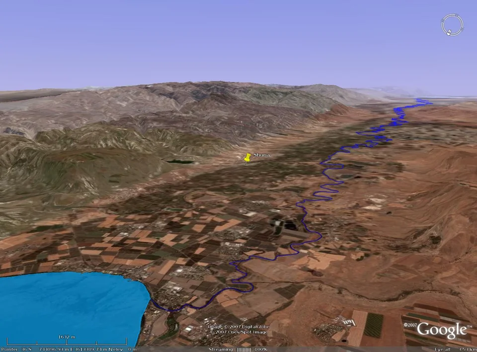
Shuna is situated on the alluvial fan of the Wadi Arab — alluvial soils formed during the slow retreat of Lake Lisan, which had largely receded from the valley by ~15,000 years BP, leaving nearly 10,000 years for deposition before the initial occupation of Shuna.(Bartov et al., 2002 Bartov, Y., Stein, M., Enzel, Y., Agnon, A., Reches, Z. (2002). Lake Levels and Sequence Stratigraphy of Lake Lisan, the Late Pleistocene Precursor of the Dead Sea. Quaternary Research, 57, 9–21. )
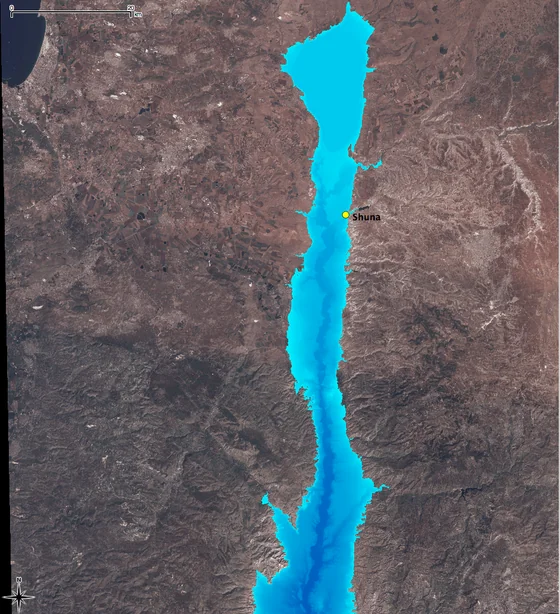 (a) maximum extent (−160 m BMSL)
  (b) ~15,000 BP level (−300 m BMSL)
 The archaeological deposits at Shuna preserve a "rare and important sequence"(Philip, 1993 Philip, G. (1993). "Tell esh-Shuna North 1991: Preliminary Report." Levant, 25, 13–36. ) of continuous Chalcolithic-to-EBA occupation, with detailed palaeobotanical and faunal evidence. This continuity, and the density of associated environmental evidence, is why the original research selected Shuna as its primary case study for landscape catchment modelling.
Coordinates + projection
- Settlement (canonical)
- UTM 36N, 744800 E, 3611100 N
- Projection (EPSG:32636)
+proj=utm +zone=36 +ellps=WGS84 +datum=WGS84 +units=m +no_defs- Approximate WGS84 lat/lon
- 32.611°N, 35.612°E
The DEM
- Source
- 30 m resolution DEM derived during the author's PhD fieldwork
and analysis. The full DEM lives in the parent QGIS-plugin
repository at
la/test/xmlData/GrassData/demShunaas a GRASS-ASCII raster. - Extent
- 2362 × 2464 cells (~74 km × 71 km), centred on the canonical site coordinates. Elevation range: −327 m to +1187 m. The Jordan Valley floor near Shuna sits ~200 m below sea level — among the lowest non-marine elevations on Earth. The surrounding eastern terraces rise sharply to over 1000 m. The −327 m minimum is on the valley floor; the +1187 m maximum is in the upland terrain.
- Cell size
- 30 × 30 m = 900 m² per cell (0.09 Ha). 1 Ha = ~111 cells.
- Preloaded scenario window
- The Explorer uses a 200 × 200 cell (6 km × 6 km) window centred on the settlement, for computational efficiency. The full DEM can be run, but takes ~15 s and ~3.7 GB peak RAM on a modern laptop. Most of the agricultural catchment for sensible target hectarages is well within the 6 km window.
Climate + agricultural suitability
Shuna sits on the boundary of two major climatic zones — the Mediterranean (warmer, distinctly seasonal rainfall, supports vine + olive + wheat + legumes) and the Irano-Turanian Steppe (transitional, more arid, primarily cereal + animal husbandry). The boundary between these zones coincides with the lower limit for sustainable dry farming.(Esse, 1991 Esse, D. L. (1991). Subsistence, Trade and Social Change in Early Bronze Age Palestine. Studies in Ancient Oriental Civilization 50. Oriental Institute. )

Today Shuna receives ~400 mm of precipitation annually — well within the 200–400 mm thresholds typically cited for dry farming. Palaeoenvironmental evidence (palynology, lacustrine deposits, fossilised land snails, deep-sea cores) suggests the EBA climate was somewhat wetter than today,(Levy, 1992 Levy, T. E. (1992). "The Beginning of Urbanization in the Southern Levant." In Ancient Egypt and the Mediterranean World (M. Friedman, ed.), 68–85. ) making the area slightly more favourable for arable farming than the modern baseline.
The crop seeds recovered at Shuna — einkorn, emmer, barley, lentils — all require modest water budgets. The high frequency of sheep and goat remains plus an increase in cattle from the Chalcolithic to the Late EB1 corroborates the wetter-than-today reading: cattle need significantly more water than caprines.

How to read the result overlays
Cost surface: a colormap (viridis-like) of walking-time-in-seconds from the settlement. Darker = further. Cells beyond ~11 hours of walking are masked as unreachable.
Catchment mask: a semi-transparent blue overlay showing the converged suitable-cells subset whose total area matches the user-specified target hectarage. This is the algorithm's answer to "where would the inhabitants of Shuna have walked to cultivate n hectares of crops?"